Our Land - Our History
The Tumu Kaituna 14 land block covers approximately 240 hectares and is located between Pāpamoa and Maketu at Pāpamoa East/Te Tumu in Bay of Plenty.
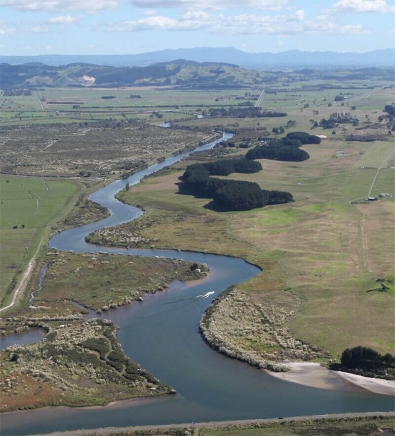
Te Tumu has had a long connection with Te Arawa, dating right back to when the waka first landed over 800 years ago. The Kaituna river provides a physical link with Rotorua.
We have never severed the connection with our whenua, the coast or the awa. The block’s substantial coastal dune system, the Wairakei stream and the Kaituna river are important natural features that connect us to the land.
As well as Tumu Kaituna 14’s historical significance, there are also heritage and burial sites – including along the margins of the stream, within the dunes and along the river. We have worked to investigate the location and significance of these sites and we will ensure they remain protected.
The whenua’s iwi ties go back to Ngāti Uenukukopako, Ngāti Rangiteaorere and Ngāti Rangiwewehi. There are approximately 5050 persons on the register of beneficial owners, and the trustees represent all of them, regardless of the size of their shareholding.